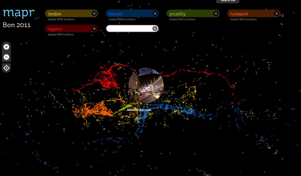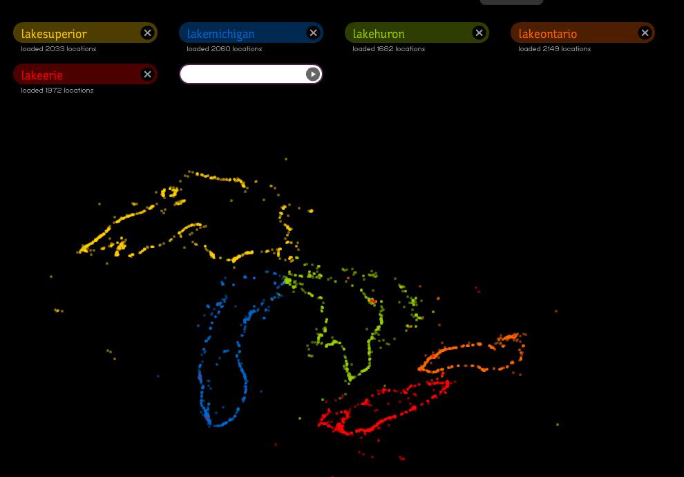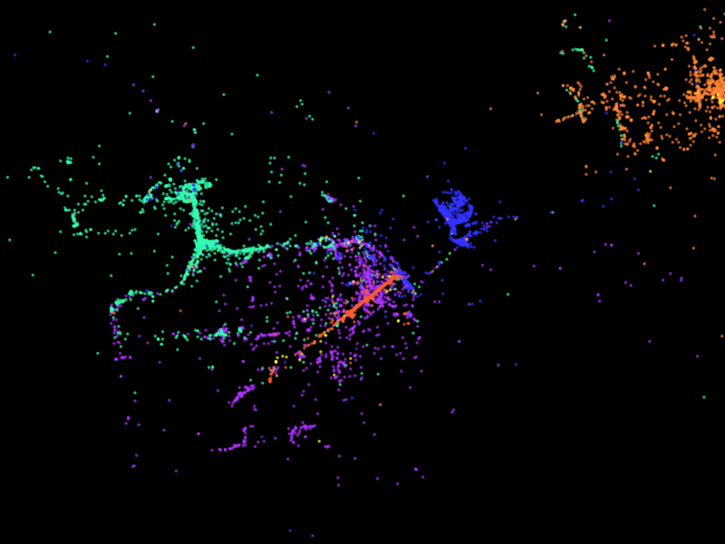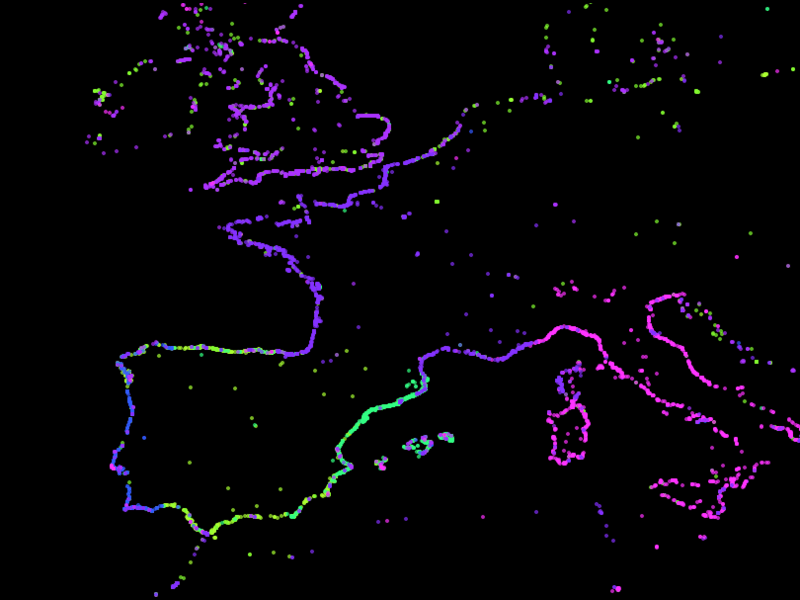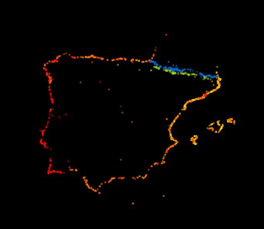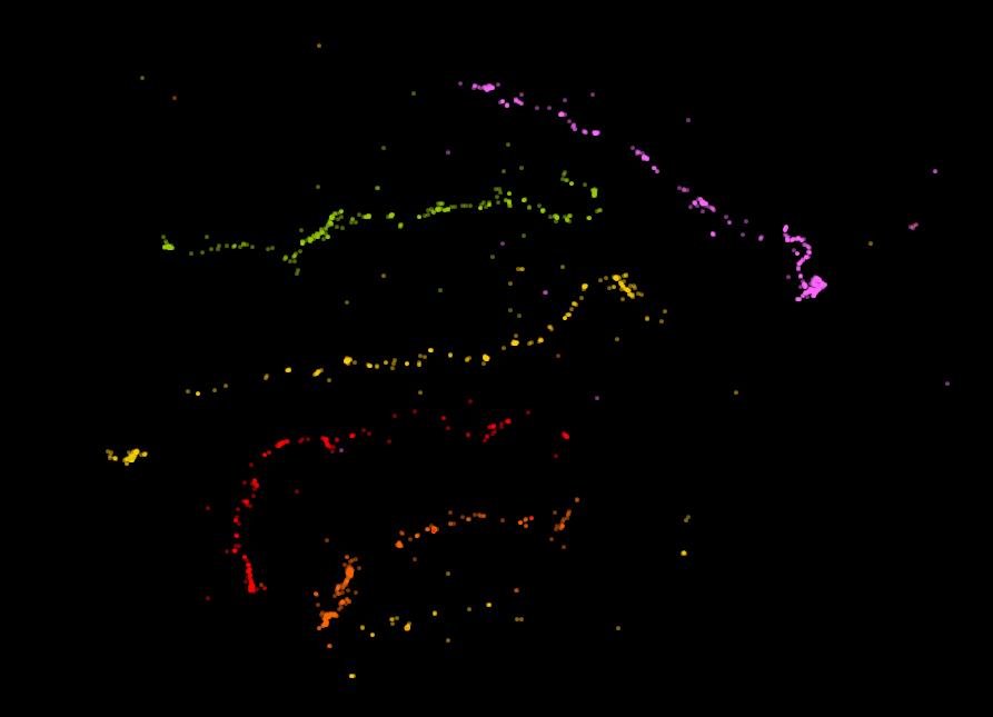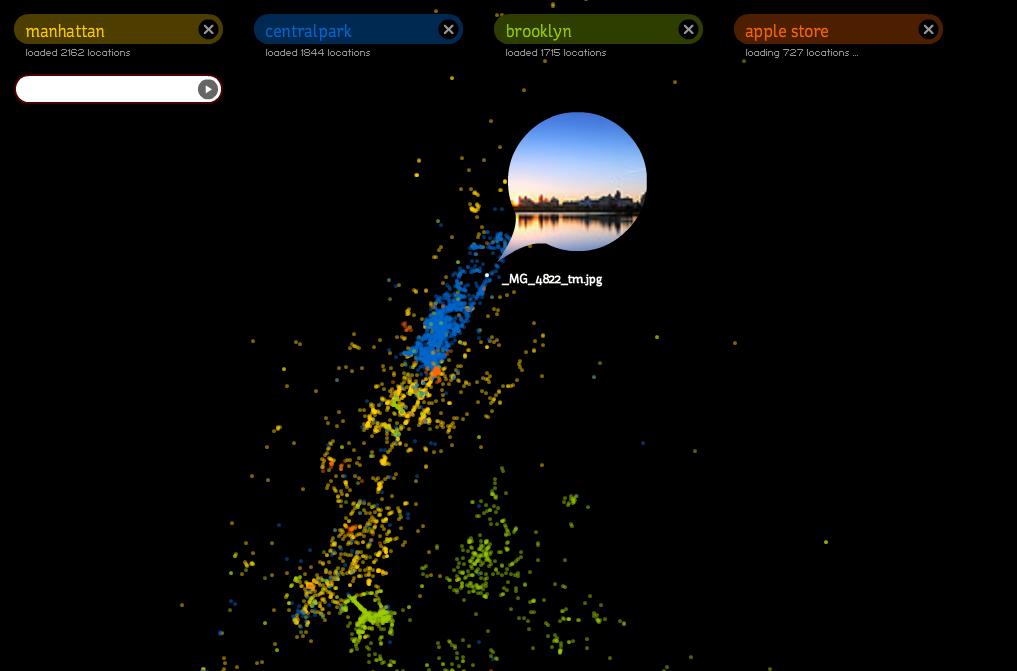
Mapr is a tool that creates geographies from geolocated images obtained from Flickr based on tags that the user enters.
The aim is to create maps from without a map, just ignoring the positions and labels generated by the users of Flickr.
Mapr is based on a draft of an earlier project, Tripr, in which we proposed uncharted journey with the sole geolocated image guidance. This project is still unfinished.